Satellites and AI used to track UK hedgehogs in bid to slow declineSatellieten en AI ingezet om Britse egels te volgen in poging om achteruitgang te vertragenDes satellites et de l'IA utilisés pour suivre les hérissons britanniques afin de ralentir leur déclin
BBC Top Stories · 19 May 2026, at 05:43
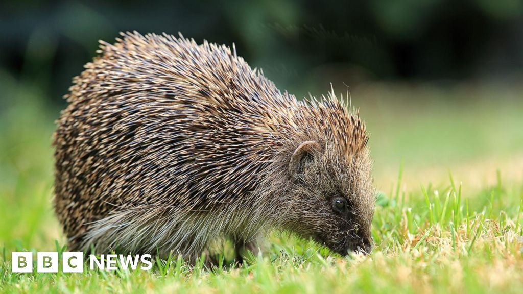
Researchers at the University of Cambridge are using satellite data and AI to help protect Britain's hedgehogs. With a tool called Tessera, they can pinpoint hedgehog habitats and understand the barriers these little creatures face. It's fascinating to see how technology can aid conservation efforts, especially when combined with real-time GPS tracking of hedgehogs, affectionately dubbed 'digi-hogs'. This innovative approach could really make a difference in reversing the decline of these adorable animals.Onderzoekers aan de Universiteit van Cambridge gebruiken satellietgegevens en AI om de Britse egels te beschermen. Met een tool genaamd Tessera kunnen ze de habitats van egels nauwkeurig bepalen en begrijpen welke barrières deze kleine wezens tegenkomen. Het is fascinerend om te zien hoe technologie kan bijdragen aan natuurbescherming, vooral in combinatie met realtime GPS-tracking van egels, liefkozend 'digi-hogs' genoemd. Deze innovatieve aanpak zou echt een verschil kunnen maken in het omkeren van de achteruitgang van deze schattige dieren.Des chercheurs de l'Université de Cambridge utilisent des données satellites et de l'IA pour aider à protéger les hérissons britanniques. Avec un outil appelé Tessera, ils peuvent localiser précisément les habitats des hérissons et comprendre les obstacles auxquels ces petites créatures sont confrontées. C'est fascinant de voir comment la technologie peut aider les efforts de conservation, surtout lorsqu'elle est combinée avec le suivi GPS en temps réel des hérissons, affectueusement appelés 'digi-hogs'. Cette approche innovante pourrait vraiment faire une différence pour inverser le déclin de ces animaux adorables.